猛暑水害クマ出没といろいろあった2023年も終わり、と思ったら新年から大地震でしたね
災害が多いので最近はハザードマップの重要性が見直されています。
西目は案外標高が高くて海岸線以外はほとんどハザードマップにかからないけど、やっぱり川沿いとか海の近くは注意した方が良いものね
重説時に「万一の時にはここまでは逃げてください」と避難場所を提示して説明させていただいてはいるものの、それはそうと家が水につかると後々大変ですからね。
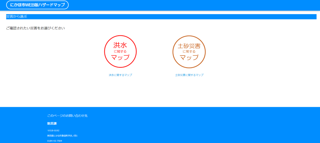
ところで、ハザードマップってどこに行けば見られるの?
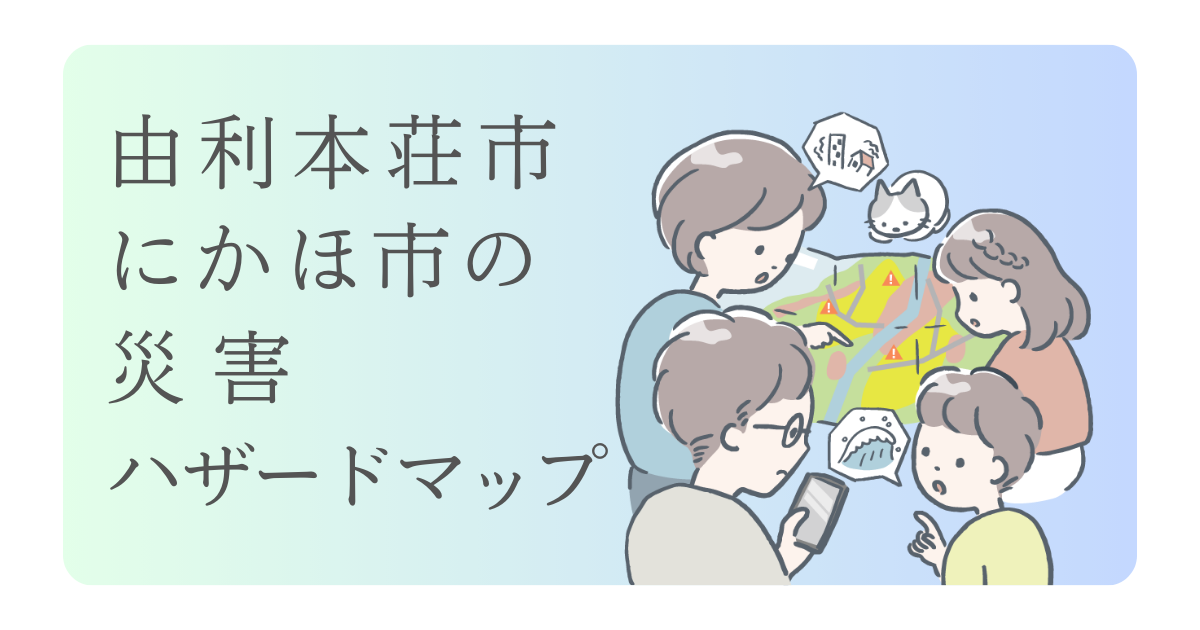
そんなわけで、この記事では由利本荘市・にかほ市のハザードマップの説明とリンクの記事です!
情報は2024年1月現在のものなので、不動産を購入する際は最新版をチェックしてみてくださいね。
目次
由利本荘市
由利本荘市では紙媒体「我が家の防災マニュアル」を2019年に全戸配布しています。今回リンクをつけたページも、多くは「防災マニュアル」掲載の図面です。
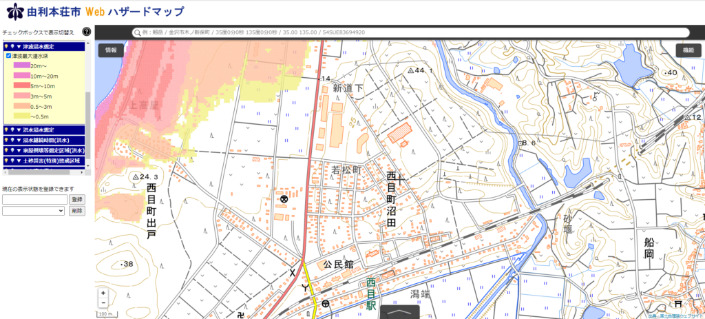
基本的には由利本荘市WEBハザードマップを押さえておけば大丈夫です。
※海沿い・溜池のそばは別途マップの参照が必要です。
由利本荘市 防災ハザードマップ:色々調べられるマップ

あわせて読みたい
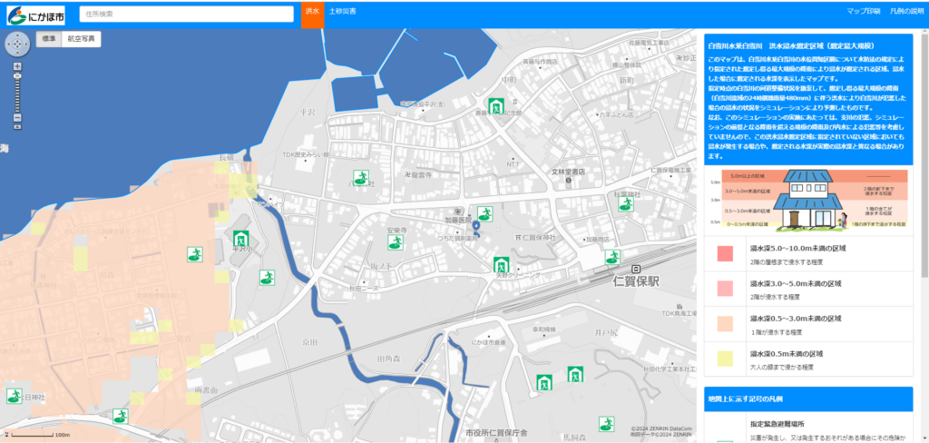
由利本荘市webハザードマップ
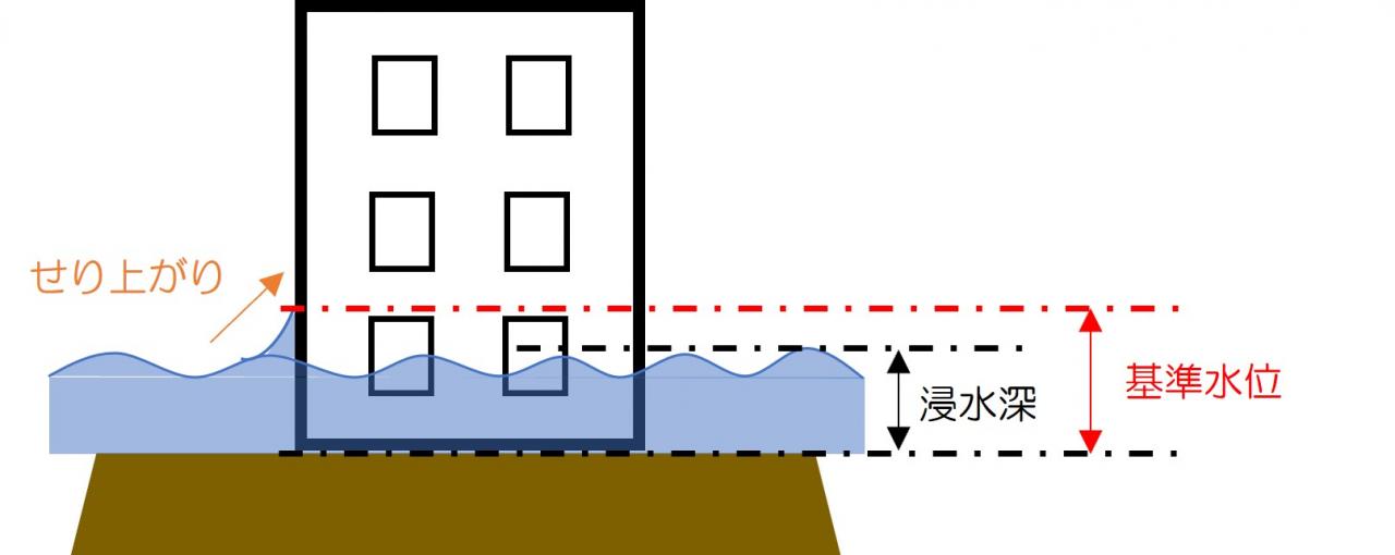
由利本荘市Webハザードマップ。避難所や避難場所、土砂災害警戒区域、津波や河川の浸水深が確認できます。
▼ 津波浸水想定
▼ 洪水浸水想定
▼ 浸水継続時間(洪水)
▼ 家屋倒壊等想定区域(洪水)
▼ 土砂災害(特別)警戒区域
▼ 火山噴火災害
などなど色々な項目をカバーしています
検索BOXはあまり真面目に働いていないので、自分の見たいところまで拡大してからハザードのレイヤーを表示するといいです
操作には多少の土地勘・地図感覚が必要になりますが、由利本荘市在住の方であれば感覚的な操作が可能だと思います。
ハザードマップのPDF
上記webハザードマップのPDFがダウンロードできるページです
潟保のあたりでも土を掘ると、一抱えもある大きな石が出てくることがあります。鳥海山噴火の時の噴石だって話なので、1000年に1度かもしれませんが噴火の場合の被害はあるかもしれないです。
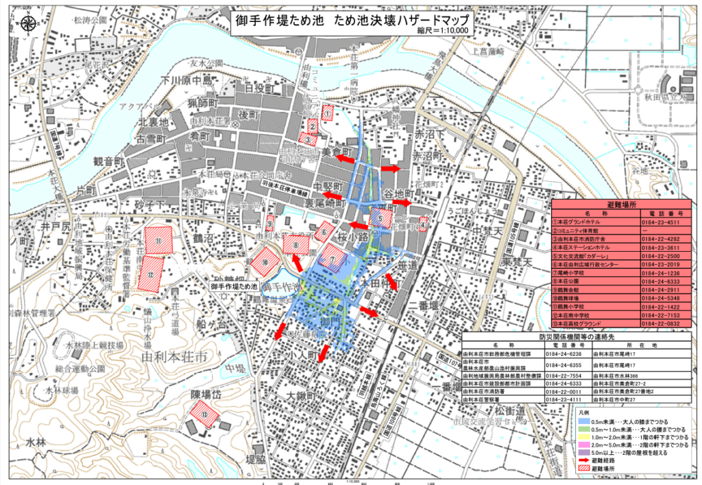
webハザードマップでカバーしていないマップ
本荘の大堤とかの溜池系です。
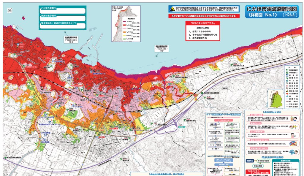
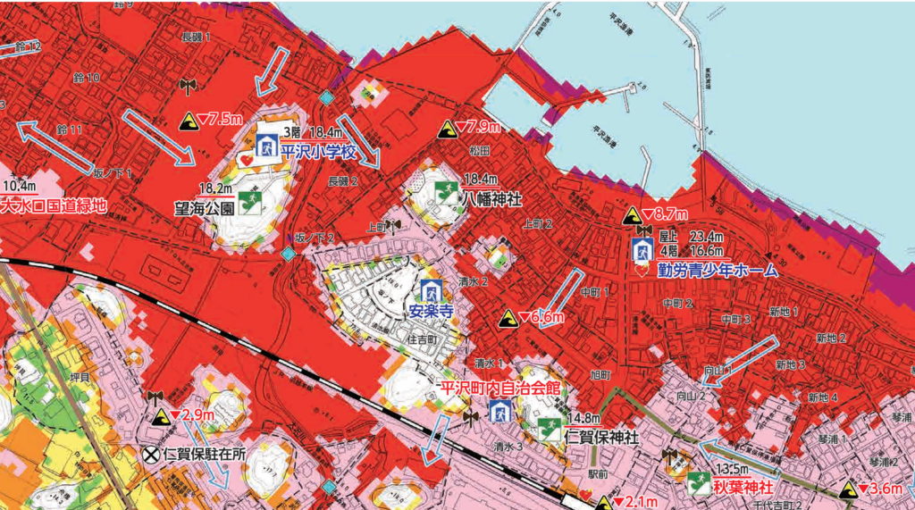
「実は独自ハザードマップがある」のです
上記画像のようなPDFが閲覧できます。避難場所の情報もあります。
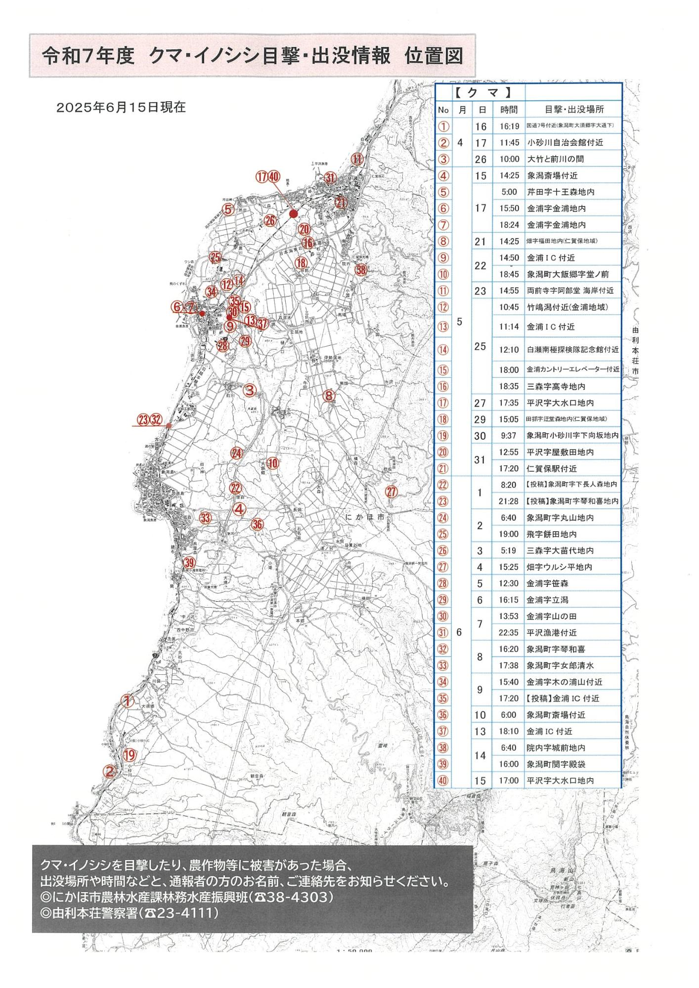
由利本荘市クマ出没地図